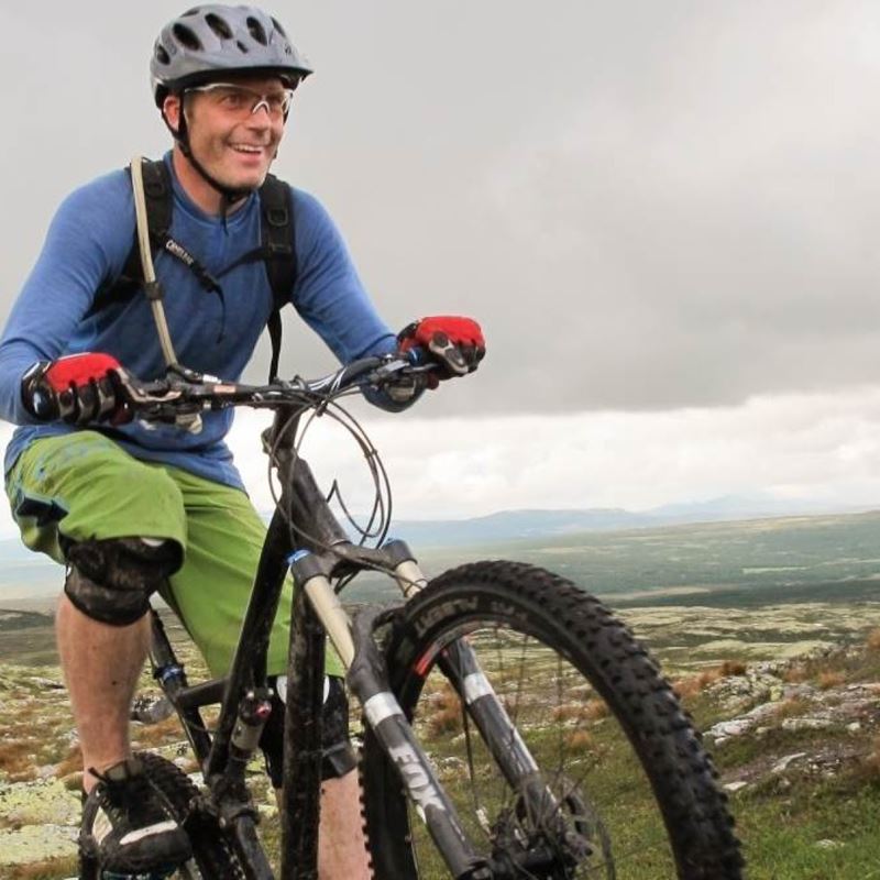
Great trail bike ride in the high mountains with rolling paths and fresh descents.
Skeikampen – Dørdalen – Storrøgna – Slagsfjella – Skeikampen
Route description
Walk or drive 12 km along Peer Gyntveien to the junction at Larvheitjønnin.
Follow the T-marked Peer Gynt Trail under the power line up to the top of Røgnhøgda. When you reach the lake Storrøgna, turn left over the stream and follow it on the south side of Storrøgna. Continue on playful, slightly hilly paths almost all the way to Skardbua. Turn right towards the signposted "S8 Slagfjellarunden" by the small pond on the last descent. Follow this up to the top.
Enjoy the descent on the gentle, winding path down the west side of Øvre Massingtjønnet towards Peer Gynt Road. Turn left onto Kristian-råket (wooden signs) just before you reach the last steep section.
Follow Kristian-råket over the top and onto the ridge Ørnkampen. Keep left there and accelerate down towards Svarttjønnet and further across the river to the junction at Avlundkampen west. Turn right at the junction and keep up the speed until you reach the cozy Skeistua cafe, which offers waffles and cold, well-deserved drinks.
The route is not signposted in its entirety, so you should bring a map with you. Please note: The area has grazing sheep and cattle.
The bicycle rental, Skeikampen Ski & Bike, has a map with all the bicycle routes.